News
Downloads
YouTube
Learn more
News
 We have a few new models of SibER in stock in USA and Europe!
Please, CONTACT US to discuss the suitability of SibER models.
Downloads
Brochures
Technical Specifications
Manuals
YouTube
Landviser’s YouTube Channel
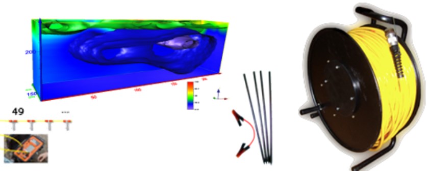
Deep & fast Electrical Tomography RES/IP instruments (SibER-32, -48, -64) |
|---|
Learn more
Want to learn more? We explain complex technologies in simple terms!
Register at our Geo-Tech Support Portal @ https://in.landviser.xyz
You can even install our Support App for iOS or Android from the link above!